Best Hikes in Patagonia: Hiking Chile’s Route of Parks

Encompassing 1,700 miles and 17 national parks, Chile’s Route of Parks is a dream come true for hikers. Driven by the visionary Tompkins Conservation and opened in 2018, the project protects 28 million acres, covering 24 pristine ecosystems, 140 species of birds, and 46 different kinds of mammals in some of the most sensational landscapes on the planet.
In part one of this three-part series on the top Patagonian hikes, we explored Argentina’s Los Glaciares National Park. In this section, we look at several of the lesser-known stops on Chile’s Route of Parks, before concluding with a selection of trails in iconic Torres del Paine National Park in part three.
Here is our list of the best Patagonian hikes in the Route of Parks (La Ruta de los Parques).
Volcán Chaitén, Pumalín National Park

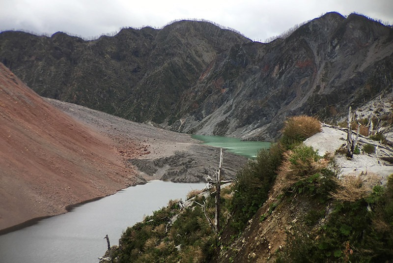
A short but steep hike, this out-and-back trail climbs to the rim of the Chaitén Volcano crater, which last erupted in 2008. The surrounding forest, blasted with heat and ash during that explosion, is now an interesting testament to nature’s ability to recover, with the vestiges of former trees poking out of rampant new undergrowth. Ascend the well-maintained trail, climbing rough-hewn stairs through lush vegetation, stopping to look over your shoulder to views of the valley and Chaitén. Along the way, watch for colorful wildflowers in season and obsidian blocks left by the eruption. As you gain altitude, the foliage gives way to barren rockscapes and geological features. Arrive at the top for views into the crater and of the massive lava dome where fumaroles still steam.
Distance: 2.7 miles
Level: Difficult
Time: 3–4 hours
Hanging Glacier, (Ventisquero Colgante), Queulat National Park

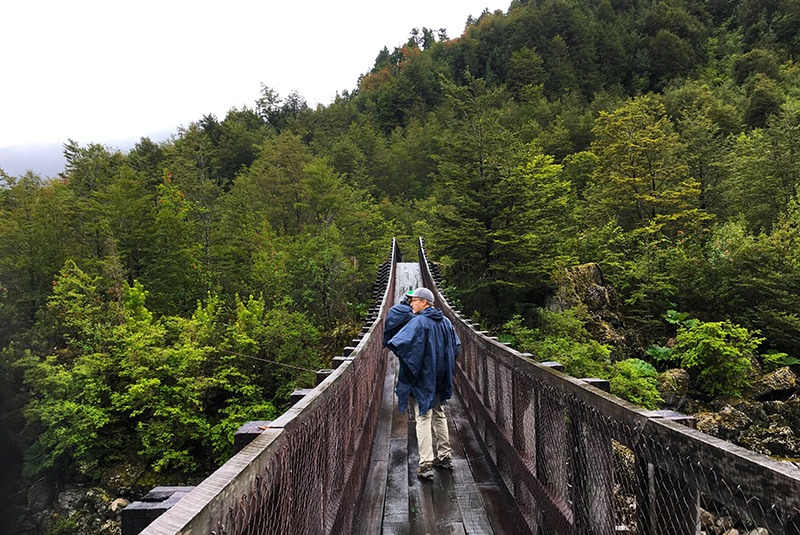
The main attraction here is the spectacular Ventisquero Colgante (Hanging Glacier)—a wall of blue ice draped between two mountains, feeding waterfalls that pour into the milky blue waters of Laguna Témpanos below. Start this hike by crossing a long, low suspension bridge over the broad Río Ventisquiero, giving you the first distant view of the glacier. From here, enter dense temperate rain forest dripping with ferns and mosses. Breaks in the tree line offer beautiful vistas as you climb the ridge to the viewpoint, looking out over the lake to the glacier and surrounding waterfalls. Returning on the same trail, you have the option to do a ¾-mile side trip to the edge of Laguna Témpanos. Note that this trail can be muddy after rain.
Distance: 3.5 miles
Level: Moderate
Time: 2–3 hours
Avilés Valley, Patagonia National Park

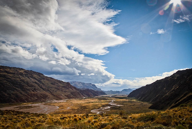
Spectacular views are your constant companion on this loop trail that traces the Río Avilés. The Stone House—a repurposed historic ranch house—is in a campground near the river and the starting point for this trail. Along the floor of the Valle Chacabuco, watch for herds of guanacos, following a fairly level path until it splits. To the left, cross a footbridge spanning the Río Avilés and ascend steeply out of the valley, keeping the river on your right. Here vast expanses of classic Patagonian grasslands spread along the plateau, offering gorgeous views. Pass the junction with the Jeinimeni Reserve trail (a much longer trek) and cross a long suspension bridge high over the gorge to begin your return on the other side of the river. Navigate some narrow ledges along the ridge, passing rocky outcrops and descending into the valley with views of Mount Pintura and other nearby peaks, which may be dusted with snow. Return to the Stone House via the Chacabuco Valley.
Distance: 10 miles
Level: Moderate–Difficult
Time: 5–6 hours
* * * * *
For more information on the best hikes in Patagonia and custom travel options along Chile’s Route of Parks, give our Patagonia experts a call at 888-570-7108.

